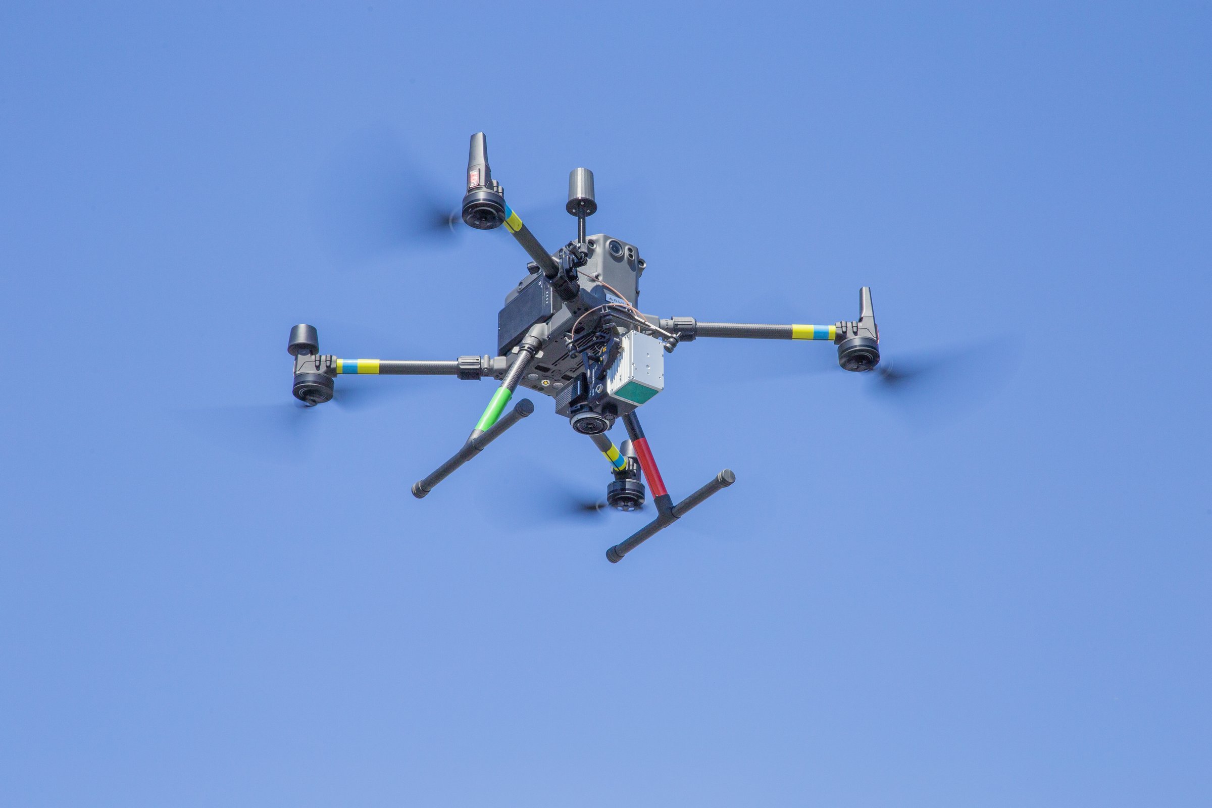
Ironstone Surveying utilizes DJI drones with our flagship, “IronDrone 1”, a state of the art Matrice 300 RTK drone coupled with either a Zenmuse P1 46 MP camera or Rock Robotic LiDAR unit and Aeropoint 2 GPS Ground Control Points to produce unprecedented sub-cm accuracy.
Our Chief Pilot is an FAA licensed Commercial Drone Pilot with over 40 years in the aviation industry

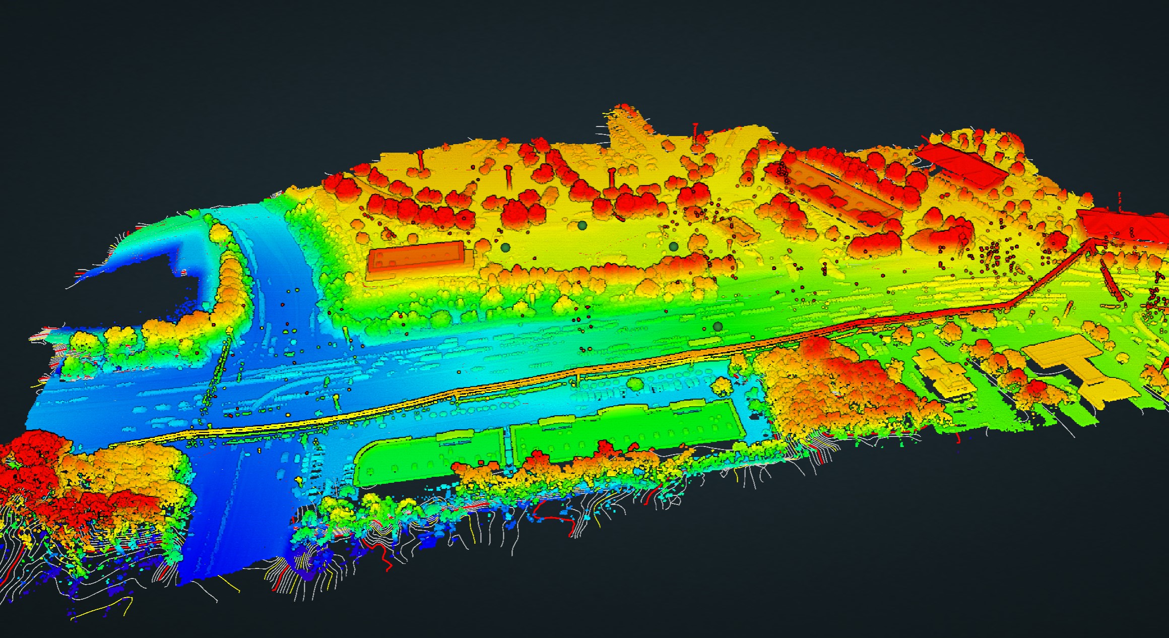
LiDAR mapping is a technology that uses lasers to create detailed 3D maps of landscapes or objects by measuring distances with high precision.
Topography involves the detailed measurement and representation of the natural and man-made features of a land surface, capturing elevation, contours, and other terrain attributes.
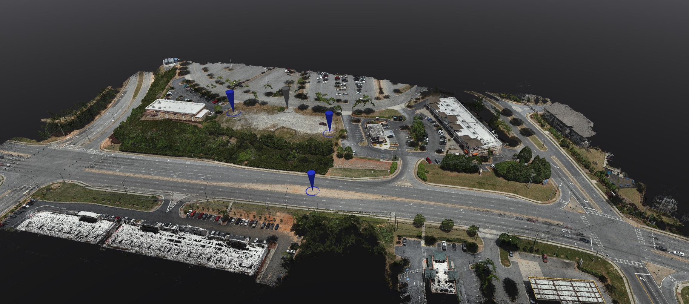
Photogrammetry is the science of making measurements from photographs, especially aerial images, to create maps, and other spatial data.
A Dense Point Cloud Survey is a detailed collection of closely spaced 3D points providing high-resolution data for mapping terrain, structures, or objects with precision.


